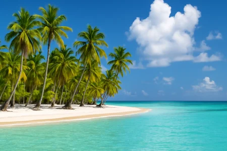


Saona Island From Punta Cana
0
(Book Now, Pay Later)
Saona Island, greenish-blue waters, unspoiled beaches, rich palm trees, and amazing natural pools make it one of ...
8 hours
8 hours
Eco & Nature
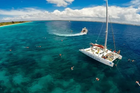
Catalina Island Sailing & Snorkeling Tour from Punta Cana
0
(Book Now, Pay Later)
Sail to Catalina Island on a full-day catamaran adventure from Punta Cana. Enjoy guided snorkeling at The ...
10 hours
10 hours
Eco & Nature
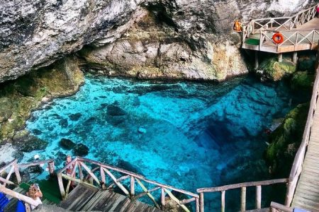
Hoyo Azul & Scape Park at Cap Cana
0
(Book Now, Pay Later)
Adventure, Nature, and Fun – All in One Place Located in the heart of the exclusive Cap Cana ...
7 HR
7 HR
Adventure Tours
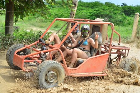
Macao Dune Boogies Double – (2 Seats Car)
5
(3 Reviews)
Experience the thrill of driving your own dune buggy through Punta Cana’s countryside! Splash through muddy ...
4 hours
4 hours
Adventure Tours
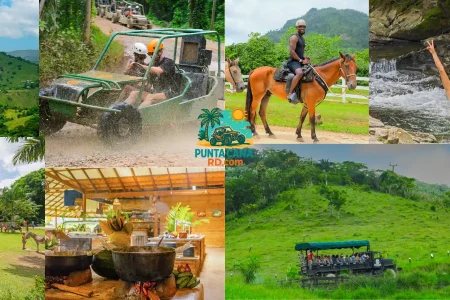
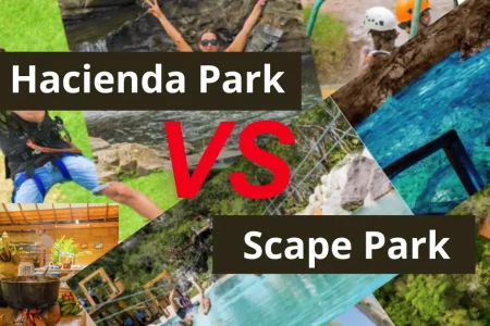
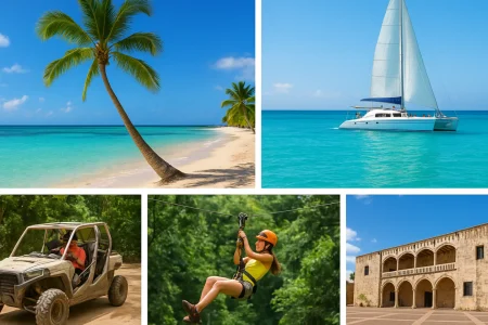
La Hacienda Park 7-in-1 Adventure
0
(Book Now, Pay Later)
Planning an unforgettable excursion in Punta Cana? La Hacienda Park is the most complete adventure park in ...
7 HR
7 HR
Adventure Tours